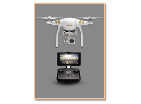

Aerial Photography
Compilation of Visual Aeronautical Charts
Design of Flight Procedures
Real - scene 3D Navigation
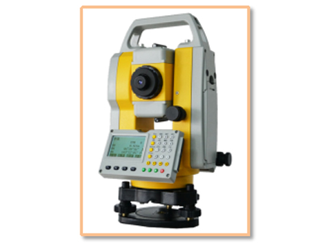
As a top - 100 geospatial information enterprise, a standing director - level member of the "Safe Development" Council of the Civil Aviation Administration of China, and a support unit for the Navigation Service Professional Committee of the China Air Transport Association, DiCe Tech has professional qualifications and software systems for aerial surveying and mapping, airspace assessment, compilation of aeronautical charts, planning of airport airspace structure, design of flight procedures, and airport site planning. It has independently developed the "1:1,000,000 National Visual Aeronautical Chart," filling the gap in China's aeronautical charts. It also collaborates in the planning and design of air - ground integration and has developed a digital airspace grid management system to ensure "taking off safely and flying safely," safeguarding the healthy development of the low - altitude economy.