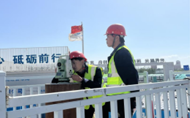
In accordance with national standards, specifications, and technical guidelines, DiCe Tech utilizes remote sensing, surveying and mapping, geographic information, and internet technologies. Leveraging the company's extensive implementation experience, it conducts surveys and registration of the utilization types, areas, ownership, land boundaries, and property rights of houses and their ancillary facilities for resources such as land, minerals, grasslands, houses, and municipal facilities. This includes surveying, design, construction, and operation management to meet the needs of macro - control of natural resources, unified registration of immovable property, compilation of land use planning, implementation of strict land management measures, and social service of land and resources information.
DiCe Tech has professional teams for aerial photography, remote sensing data processing, automatic monitoring, and geological surveys, achieving comprehensive information collection of geological disasters from the air to the ground, data analysis, disaster assessment, forecasting, and early warning. It has led multiple county - and city - level projects across the country, including land use right confirmation and registration, the third national survey, landslide monitoring and evaluation, and construction safety operation monitoring.