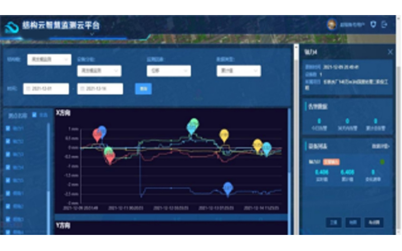
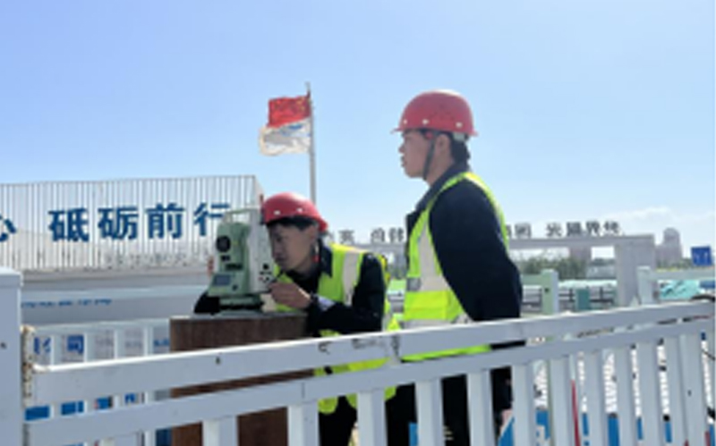
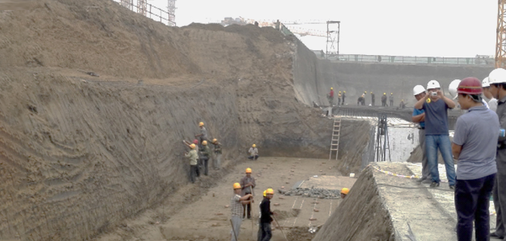
Ground Space Data Acquisition Services
In accordance with national standards, specifications, and technical guidelines, DiCe Tech utilizes remote sensing, surveying and mapping, geographic information, and internet technologies. Leveraging the company's extensive implementation experience, it conducts surveys and registration of the utilization types, areas, ownership, land boundaries, and property rights of houses and their ancillary facilities for resources such as land, minerals, grasslands, houses, and municipal facilities.