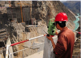
Hydraulic surveying and mapping is a comprehensive surveying and mapping work, primarily utilized in river regulation, water resource development, utilization, and protection. Its core contents encompass horizontal and vertical control surveying, topographic surveying (including underwater topographic surveying), cross-sectional and longitudinal profiling, setting out and staking-out surveying, deformation observation, among others. Furthermore, hydraulic surveying and mapping encompasses hydraulic engineering geological surveys, groundwater resource exploration, and soil investigations in irrigation areas. Specific tasks involve analyzing regional tectonic stability, monitoring reservoir earthquakes, researching reservoir leakage and environmental geological issues, assessing the stability of hydraulic structure foundations, analyzing the stability of surrounding rocks in tunnels, assessing the stability of natural and excavated slopes, and investigating the conditions of natural construction materials.
Digital Twin Hydraulics refers to the utilization of new-generation information technologies such as cloud computing, big data, artificial intelligence, and virtual reality to collect comprehensive data. This enables visual representation of rivers, reservoirs, water network construction, and engineering dispatching, along with intelligent simulation and forward-looking previews.